Looking for the latest map? → Download the 2026 Jeju Map (PDF)
This page collects the English Jeju Island maps I have shared since 2010, from the 2010 map to the latest 2026 tourist map. The maps are official tourist maps from Jeju Special Self-Governing Province. For the most detailed and up-to-date information, also check the official site, Visit Jeju.
Jeju Map 2010 (JPEG)
The 2010 English Jeju map, the first one shared on this site. Click the image to view it in full size.
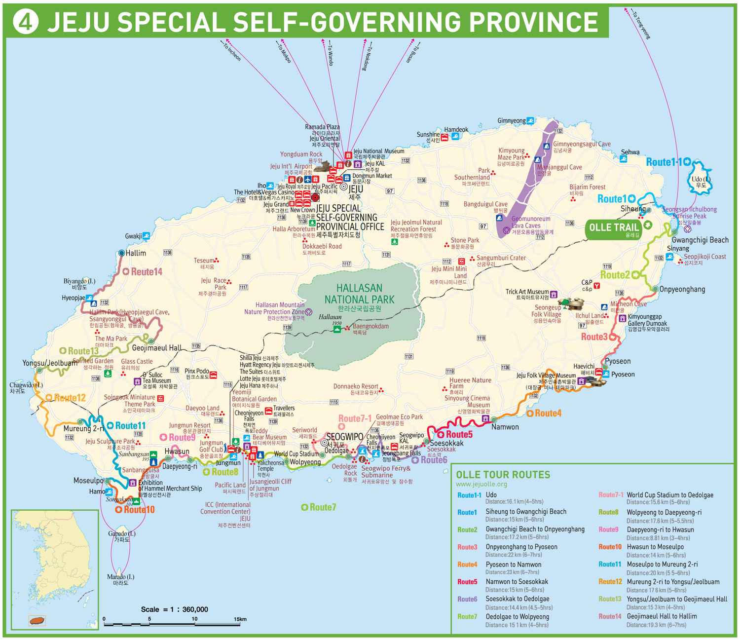
Jeju Map 2016 (JPEG)
The 2016 English map is a JPEG image file. It is handy if you just want to view the map on your phone without opening a PDF.
Jeju Map 2020 (PDF)
The first English PDF version shared here.
Jeju Map 2020 Version 2.0 (PDF)
An updated 2020 release (June 2020) with revised attraction information.
Jeju Map 2026 (PDF) – Latest
The 2026 Jeju Island Tourist Map is the newest English edition. If you are planning a trip now, download this one.
→ For a full guide to the 2026 map, see Jeju Island Tourist Map 2026.
Which Jeju Map Should You Download?
- Traveling now: download the 2026 map. Its attraction information is the most current.
- Comparing changes or collecting maps: the older versions are kept here as an archive.
- Viewing on your phone: save the PDF or JPEG to your phone so you can open it offline.
Tips for Getting Around Jeju
- Google Maps has limited directions in Korea. Naver Map or Kakao Map work much better for buses and walking routes.
- Jeju is divided into two areas: Jeju City in the north (airport, Dongmun Market) and Seogwipo in the south (waterfalls, Jungmun beach).
- A downloaded map is useful in rural areas where mobile data can be slow.
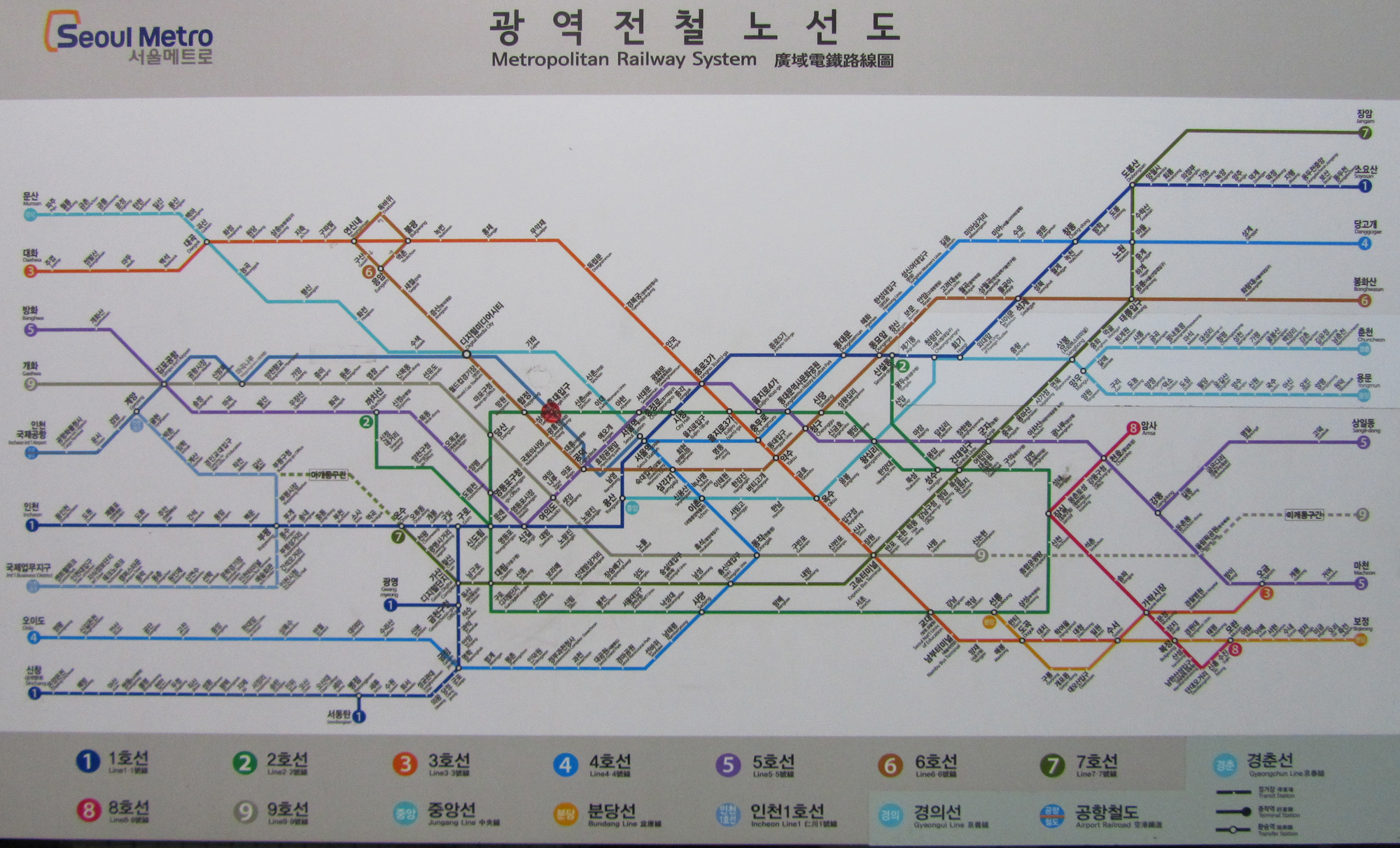
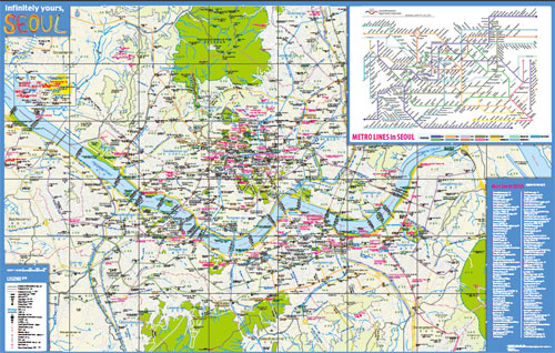
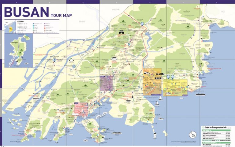
I would like to get map of Jeju Island in English.
Person-in-charge,
Could you email me the Map in English for me for Jeju island and Seoul train map.
Regards
Iris Ng
Person-in-charge,
Could you email me the Map in English for me for Jeju island and Seoul train map.
Regards
Iris Ng
3.5